Master plan to expands stormwater drain network will be drafted
WATER & WASTE

Master plan to expands stormwater drain network will be drafted

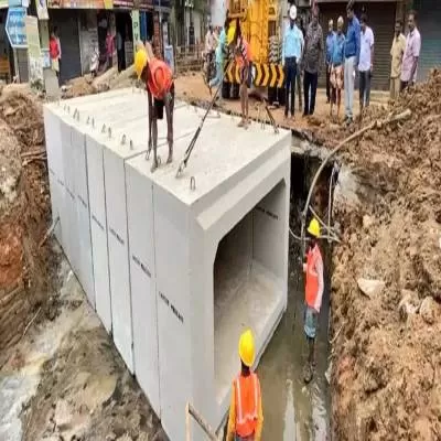
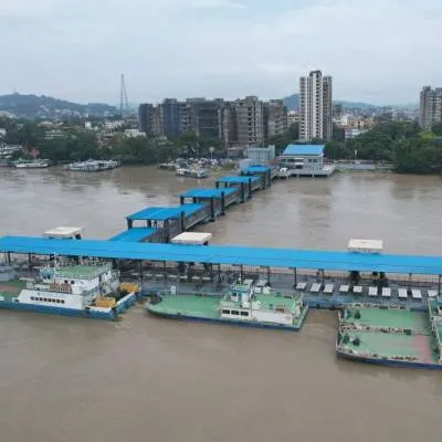
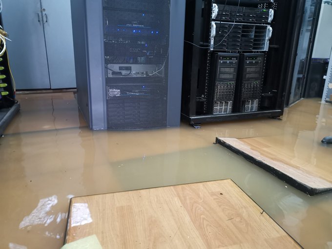
The extensive flooding in many parts of the Yelahanka and Byatarayanapura assembly constituencies has been blamed on unusually heavy rains that fell in a matter of hours, as well as a limited stormwater drainage system.

Chief Minister Basavaraj Bommai said he had directed officials to draught a master plan to widen rajakaluves and build diversion canals to address the problem of flooding while inspecting the rain-affected Kendriya Vihar, Jawaharlal Nehru Centre for Advanced Scientific Research (JNCASR), and the Manyata Tech Park on Tuesday.

Many lakes in Yelahanka had overflowed due to the heavy rains.

Bommai said that the existing rajakaluves are narrow, with widths ranging from eight to 10 ft. This is insufficient to carry the massive amount of waste.

Yelahanka Lake, which is connected to 11 other lakes upstream, was the source of the problem. Bommai informed that the heavy rains had caused overflow from all of the lakes to Yelahanka Lake, which has two narrow rajakaluves that are either choked or encroached at various points. These drains would need to be at least 30 ft wide. Transfer of Development Rights (TDR) could be used to acquire the required land.

After assessing the situation at the Kendriya Vihar residential complex, which houses 603 flats, Bommai said the government would work with the National Highways Authority of India (NHAI) to build a drain across the highway. Floodwaters flow through Yelahanka Lake, Jakkur Lake, Rachenahalli Lake, and then to K.R. Puram, where they join the Pinakini before entering Tamil Nadu.

Apart from widening and clearing encroachments, the government recently directed the civic body to strengthen and remodel 50 km of rajakaluves.

According to Mr Bommai, the BBMP discovered 714 illegal structures on the rajakaluves. Those from lower socioeconomic groups would be rehabilitated, while others would be given time to vacate their properties before their structures were demolished.

Image Source

"Join industry leaders at RAHSTA Expo, India's premier platform for roads, highways and traffic infrastructure. Register now to explore innovations, network with experts and shape the future of mobility."

The extensive flooding in many parts of the Yelahanka and Byatarayanapura assembly constituencies has been blamed on unusually heavy rains that fell in a matter of hours, as well as a limited stormwater drainage system. Chief Minister Basavaraj Bommai said he had directed officials to draught a master plan to widen rajakaluves and build diversion canals to address the problem of flooding while inspecting the rain-affected Kendriya Vihar, Jawaharlal Nehru Centre for Advanced Scientific Research (JNCASR), and the Manyata Tech Park on Tuesday. Many lakes in Yelahanka had overflowed due to the heavy rains. Bommai said that the existing rajakaluves are narrow, with widths ranging from eight to 10 ft. This is insufficient to carry the massive amount of waste. Yelahanka Lake, which is connected to 11 other lakes upstream, was the source of the problem. Bommai informed that the heavy rains had caused overflow from all of the lakes to Yelahanka Lake, which has two narrow rajakaluves that are either choked or encroached at various points. These drains would need to be at least 30 ft wide. Transfer of Development Rights (TDR) could be used to acquire the required land. After assessing the situation at the Kendriya Vihar residential complex, which houses 603 flats, Bommai said the government would work with the National Highways Authority of India (NHAI) to build a drain across the highway. Floodwaters flow through Yelahanka Lake, Jakkur Lake, Rachenahalli Lake, and then to K.R. Puram, where they join the Pinakini before entering Tamil Nadu. Apart from widening and clearing encroachments, the government recently directed the civic body to strengthen and remodel 50 km of rajakaluves. According to Mr Bommai, the BBMP discovered 714 illegal structures on the rajakaluves. Those from lower socioeconomic groups would be rehabilitated, while others would be given time to vacate their properties before their structures were demolished. Image Source

Next Story
Infrastructure Transport

Uttar Pradesh unveils infrastructure-led growth roadmap at RAHSTA

Mumbai, 9 July 2026: Uttar Pradesh’s ambitious infrastructure-led growth strategy took centre stage on Day 2 of the 16th RAHSTA Expo, where senior government officials outlined how expressways, industrial corridors and technology-driven governance are transforming the state into one of India's most attractive investment destinations.Delivering the keynote address, Srihari Pratap Shahi, IAS, Additional Chief Executive Officer, Uttar Pradesh Expressways Industrial Development Authority (UPEIDA), highlighted the state's long-term vision of integrating world-class expressways with industrial dev..

Next Story
Real Estate

NCW closes PRIME Offices Fund at Rs 40 billion

Nuvama and Cushman & Wakefield Management (NCW) has announced the final close of its flagship PRIME Offices Fund at approximately Rs 40 billion, exceeding its original target of Rs 30 billion following strong investor demand.The fund was launched to provide Indian investors with access to institutional-grade commercial office assets across key office markets in the country. According to NCW, the increase in the fund size was supported by strong investor participation and the availability of investment opportunities in India's office sector.The fund has already committed around 45 per cent ..

Next Story
Real Estate

Mayfair Housing adopts Autodesk Forma for digital project planning

Mayfair Housing has entered into a three-year strategic partnership with Autodesk to deploy Autodesk Forma, an AI-enabled cloud platform, as part of its digital transformation programme aimed at improving project planning and execution across its development and redevelopment portfolio.The platform will be integrated into the company's Building Information Modelling (BIM) workflow to support architects, planners and project teams during the early stages of design and development. Autodesk Forma combines real-world data, environmental simulations and collaborative workflows to facilitate data-d..

Advertisement

Subscribe to Our Newsletter

Get daily newsletters around different themes from Construction world.

STAY CONNECTED

Advertisement

Advertisement

Advertisement