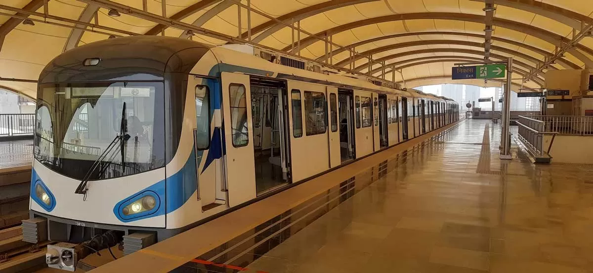
Radar survey starts for 27 Metro station sites along GGM route


DRA Enters Rs 5 Billion Club, Redefines Chennai’s Housing Growth
DRA has become the fastest real estate developer in Chennai to cross the Rs 5 billion mark, clocking Rs 5.25 billion in revenue in FY 2024–25. This milestone marks the launch of DRA 2.0, its next growth phase, focused on tech-enabled, customer-first development rooted in local insight.To mark the achievement, DRA held a celebratory event with employees, customers, and stakeholders. Ranjeeth Rathod, Managing Director, presented the milestone, followed by a keynote from Yubi CEO Gaurav Kumar on innovation and trust.“Crossing the Rs 5.25 billion mark isn’t just a financial milestone – it�..
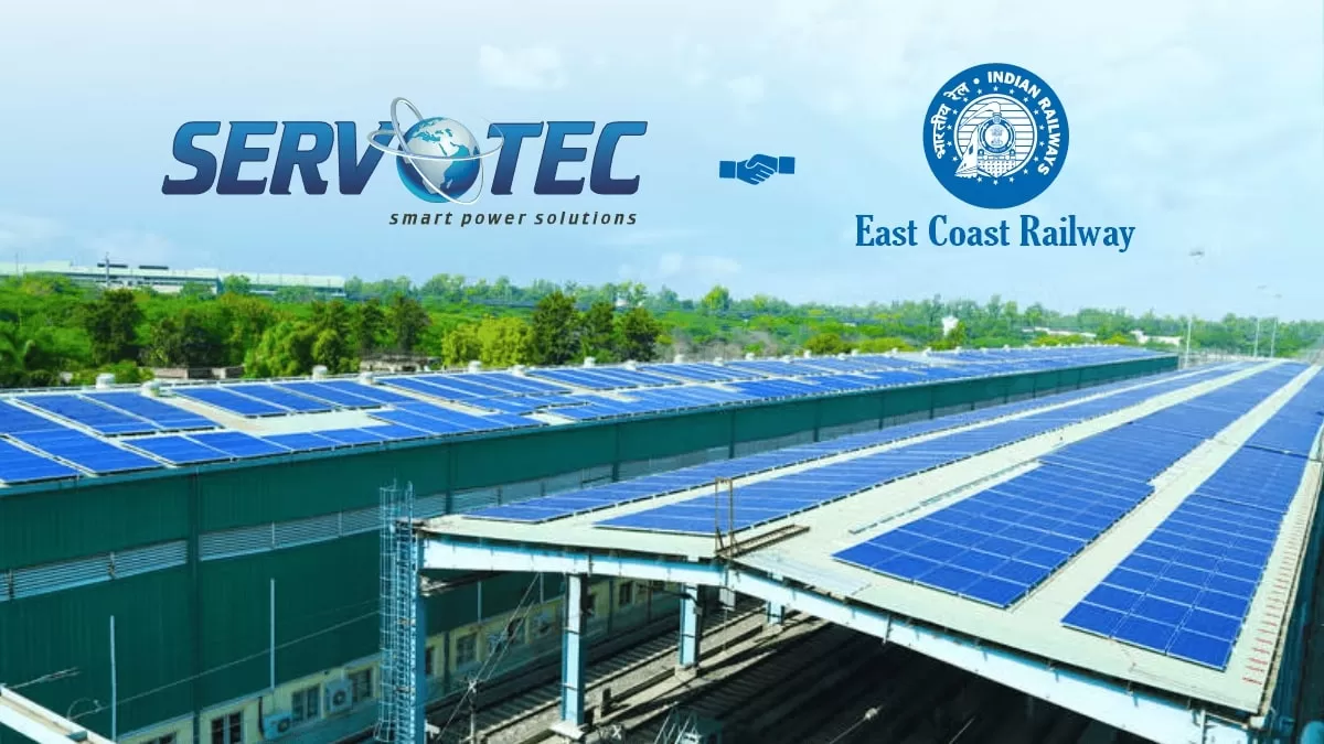
Servotech wins 4.1 MW solar order from East Coast Railway
Servotech Renewable Power System Ltd. (NSE: SERVOTECH) has secured a Rs 15.8 crore order to set up a 4.1 MW on-grid rooftop solar project for the Waltair Division of East Coast Railway, Visakhapatnam. The contract includes the design, supply, installation, and commissioning of solar PV plants at various locations across the division.The order aligns with Indian Railways’ broader mission to decarbonise operations by integrating renewable energy. Under this initiative, Servotech will deploy solar photovoltaic systems of varying capacities to support energy-efficient rail infrastructure.“We a..

Realsee backs FIDOVN's VR-powered real estate leap in Vietnam
Realsee has partnered with Vietnam-based proptech platform FIDOVN to usher in a new era of virtual reality (VR)-driven real estate experiences in Southeast Asia. Backed by Realsee’s 3D reconstruction and spatial digitisation tech, FIDOVN has built the region’s first VR+AI+Data Hub OMO ecosystem—transforming how properties are marketed and sold in a post-pandemic, digital-first world.Powered by Realsee’s Galois 3D LiDAR Camera and G1 Smart Phone Gimbal, FIDOVN has digitised over 10,000 properties. Its interactive, immersive experiences allow prospective buyers to navigate listings remot..
Latest Updates