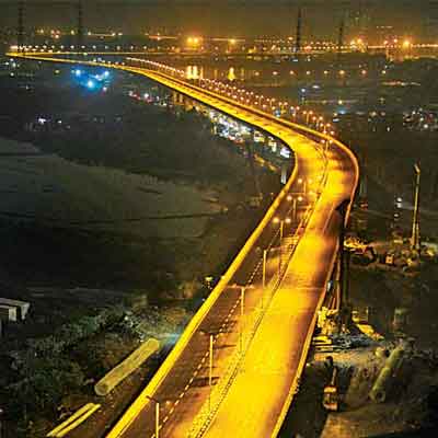
Grant Road & Eastern Freeway to be connected by 5.6 km elevated road

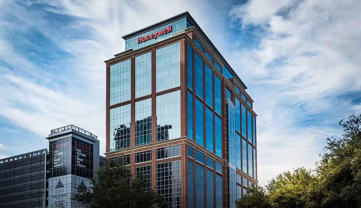
Honeywell Unveils AI Tools to Enhance Green Hydrogen Efficiency
"Honeywell has introduced Honeywell Protonium, a comprehensive suite of advanced technologies driven by artificial intelligence (AI) and machine learning (ML), aimed at improving the efficiency, scalability, and cost-effectiveness of green hydrogen production. The technology is designed to address key industry challenges such as power intermittency, high production costs, and carbon intensity, thereby facilitating the wider adoption of clean hydrogen as a sustainable energy source.The first deployment of Honeywell Protonium will take place at Aternium, a US-based large-scale clean hydrogen pro..
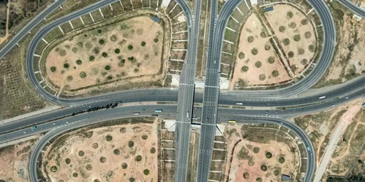
NHAI Plans Link Road for Expressway Access
The National Highways Authority of India (NHAI) is evaluating the construction of an 18 km road to connect the Bengaluru-Chennai Expressway, within Karnataka, to the Bengaluru-Kolar Highway (NH 75). This strategic link is aimed at improving connectivity for motorists travelling towards the Andhra Pradesh border, including destinations like Chittoor and Tirupati. Currently, a 68 km section of the expressway — from Hoskote to Bethamangala near Kolar Gold Fields (KGF) — is operational. However, due to the absence of seamless end-to-end connectivity, users are forced to navigate through narr..
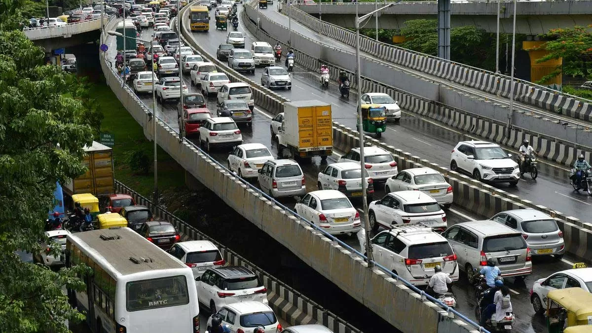
Bengaluru to Get 40-Km Signal-Free Transit Corridor
In a major push to modernize Bengaluru’s transport infrastructure, the Karnataka Government has approved the construction of a 32.15 km double-decker flyover with a metro line along the city’s Outer Ring Road. This transformative initiative aims to ease the daily commute for thousands and provide lasting relief from the city's chronic traffic congestion. In tandem, an additional 8 km elevated stretch will be constructed on Magadi Road as part of Namma Metro’s Phase III expansion. Together, these projects will add over 40 km of new, signal-free metro routes—making daily travel faster, ..
Latest Updates