Government to finish mapping all highways via GIS
ROADS & HIGHWAYS

Government to finish mapping all highways via GIS

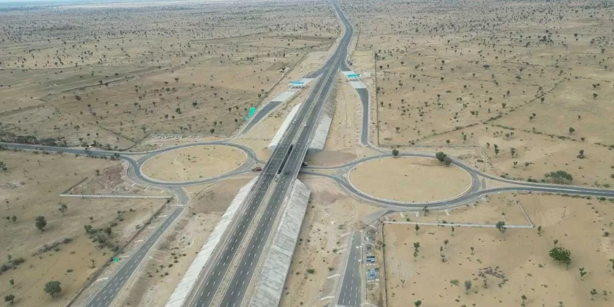
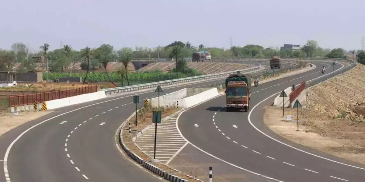
The Centre announced its intention to finalise the GIS mapping of all national highways, encompassing the delineation of the jurisdictions of state-owned developers, with the aim of enhancing the planning, execution, and monitoring of the road network, as well as ensuring the timely completion of projects. In line with this initiative, the ministry of road transport and highways (MoRTH) informed all project implementing units of the National Highways Authority of India (NHAI), Border Roads Organisation (BRO), National Highways and Infrastructure Development Corporation (NHIDCL), and the ministry itself to ensure the marking of their jurisdictions on the national highways dashboard by the end of May. This would enable the availability of comprehensive GIS data for highways, including jurisdictional segregation, for future reference and expediting work processes.

The primary objective of this standard operating procedure (SOP) is to rationalise GIS-based data collection for all National Highways in India under the MoRTH. According to an office memorandum from MoRTH, the SOP seeks to clearly outline the responsibility areas for each National Highway, utilize a GIS-based mapping system via the media portal for network definition and data visualisation, implement a verification process by the administrative team to ensure the accuracy and reliability of data, and employ the collected data for various communication purposes concerning the highway system.

The Centre announced its intention to finalise the GIS mapping of all national highways, encompassing the delineation of the jurisdictions of state-owned developers, with the aim of enhancing the planning, execution, and monitoring of the road network, as well as ensuring the timely completion of projects. In line with this initiative, the ministry of road transport and highways (MoRTH) informed all project implementing units of the National Highways Authority of India (NHAI), Border Roads Organisation (BRO), National Highways and Infrastructure Development Corporation (NHIDCL), and the ministry itself to ensure the marking of their jurisdictions on the national highways dashboard by the end of May. This would enable the availability of comprehensive GIS data for highways, including jurisdictional segregation, for future reference and expediting work processes. The primary objective of this standard operating procedure (SOP) is to rationalise GIS-based data collection for all National Highways in India under the MoRTH. According to an office memorandum from MoRTH, the SOP seeks to clearly outline the responsibility areas for each National Highway, utilize a GIS-based mapping system via the media portal for network definition and data visualisation, implement a verification process by the administrative team to ensure the accuracy and reliability of data, and employ the collected data for various communication purposes concerning the highway system.

Next Story
Resources

KEC wins new orders of Rs 11.14 billion

KEC International, a global infrastructure EPC major, an RPG Group Company, has secured new orders of Rs 11.14 billion across its various businesses:Transmission & Distribution (T&D): The business has secured orders for T&D projects in Middle East and Americas:400 kV Transmission line in OmanSupply of towers, hardware and poles in AmericasCivil: The business has secured orders in the industrial segment in India.Railways: The business has secured an order for Metro Overhead Electrification (OHE) works in the technologically enabled segment in India.Cables: The business has secured o..

Next Story
Building Material

The Future of Concreting

Batching plants, ready-mix concrete (RMC) plants and boom pumps are the mainstay of concreting. Their efficiency impacts the concreting process. In recent years, this trio has seen advancements. But there is still plenty of scope for innovation. New features would help these machines work more efficiently and contribute to sustainable construction.Missing featuresConsider the increasing use of high-grade concrete in infrastructure and high-rise residential and commercial projects. This requires the use of high cementitious materials like fly ash, ground granulated blast-furnace slag (GGBS), mi..

Next Story
Real Estate

We are executing data-centre projects in MMR region: Paradigm Realty

Certain areas of Mumbai showcase tremendous opportunity for redevelopment, as Parthh K Mehta, CMD, , explains. He speaks about his company’s plans for this region, adherence to quality, use of technology and its strategies and plans for data centres and further expansion going forward. Excerpts:According to a Knight Frank India report, there's been a noteworthy rise in property registrations in Central and South Mumbai and Bandra and Worli showcase the opportunity for redevelopment. Does the group have any plans for this region? We recognise that Mumbai as a city is continuall..

Hi There!

"Now get regular updates from CW Magazine on WhatsApp!

Join the CW WhatsApp channel for the latest news, industry events, expert insights, and project updates from the construction and infrastructure industry.

Click the link below to join"

+91 81086 03000