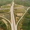
GIS mapping of all National Highways to be completed soon
Redefine the future of urban mobility! Join us at the Metro Rail Conference 2025 to explore groundbreaking ideas and insights. 👉 Register today!
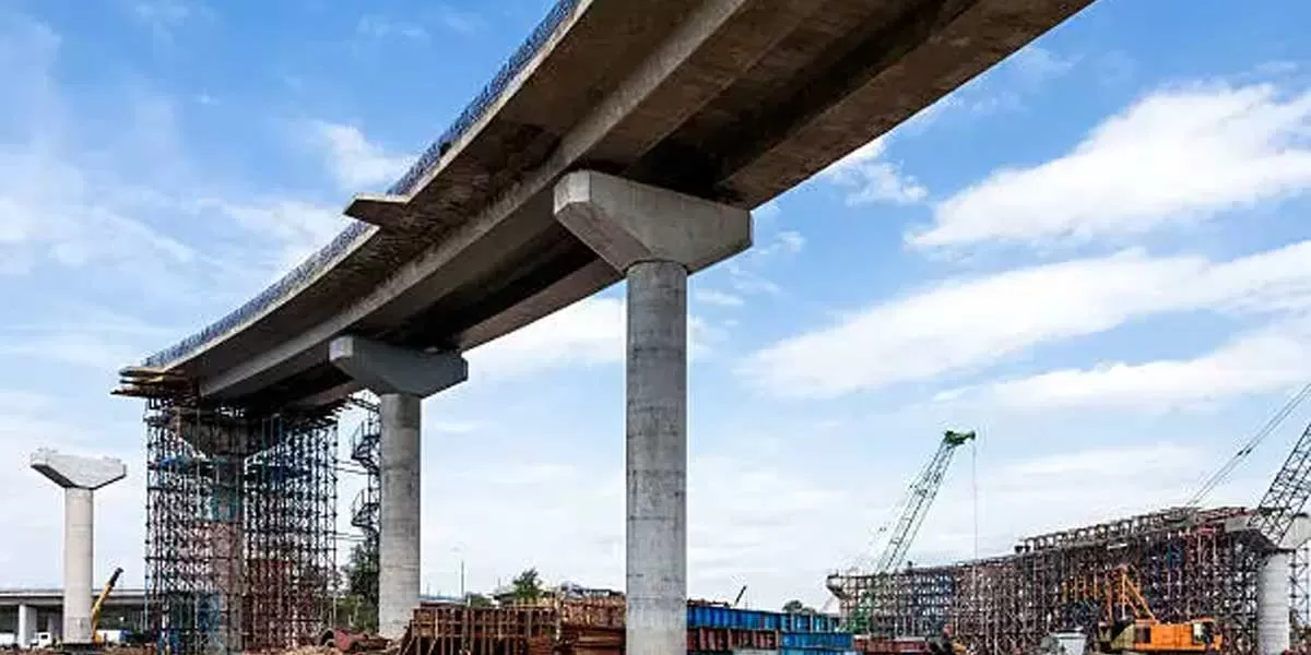
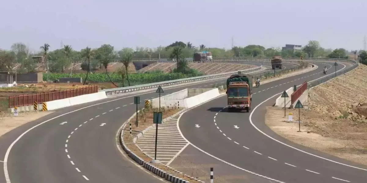
Design Flaw Stalls New Four-Lane Bridge Project in Jamshedpur
The construction of a four-lane bridge between Litti Chowk and NH 33 has been delayed due to design concerns. Current work is limited to bush clearing near Mango, as engineers have identified alignment issues with the bridge. They noted that a portion of the design encroaches into the Subarnarekha River, according to Executive Engineer Deepak Sahay. In response, survey teams are working on revised plans. The state government has allocated Rs 440 million for the bridge's construction, with an additional Rs 330 million earmarked for land acquisition. Tata Steel has contributed 20-30 per cent o..

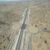
Govt Proposes Plan for Strategic Paddar-Zanskar Road Construction
The Government has prepared a proposal for the construction of the Paddar-Zanskar road, which will establish an additional connection between Jammu and Ladakh. This project aims to enhance tourism, bolster local economies, and facilitate the movement of troops to the China and Pakistan borders in Ladakh. Officials indicated that the Union Ministry of Road, Transport and Highways is expected to undertake the project after conducting a detailed study of its route. The road’s construction was initially announced by Union Home Minister Amit Shah during a public rally in Paddar in September las..
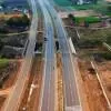
TN Govt Allocates Rs 8.04 Bllion to Boost 746 Rural Roads
MK Stalin, Chief Minister, Tamil Nadu, unveiled a major initiative aimed at constructing and maintaining an extensive network of roads in rural areas. The State government announced that the project, with an estimated cost of Rs 8.04 billion, is designed to enhance connectivity for Tamil Nadu's rural population, thereby narrowing the divide between urban and rural regions. A government release highlighted that the project involves the construction of 746 roads covering a total distance of 1,452.97 kilometre across 37 districts in the state. It added that the initiative is being financed thro..