Draft Master Plan 2040 includes 3 Special Development Zones

Manglam Group to Develop Sheraton Hotel in Jaipur
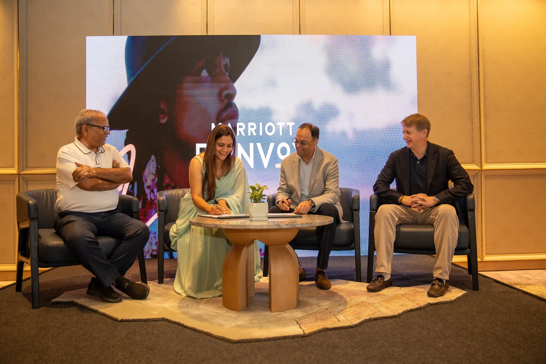
Manglam Group has signed an agreement with Marriott International to develop a Sheraton hotel on the Jaipur–Ajmer Highway in Jaipur. The project will feature 220 keys and is being developed with an investment of around Rs 3.5 billion across more than 300,000 sq ft.The hotel marks Manglam Group’s third collaboration with Marriott International and forms part of its Rs 10 billion hospitality investment roadmap. The agreement was signed by Amrita Gupta, Director, Manglam Group and CEO, Manglam Spa and Resorts, and Rajeev Menon, President, Asia Pacific excluding Greater China, Marriott Interna..

India Warehousing Show 2026 opens at YashoBhoomi
India's warehousing, logistics, and supply chain ecosystem came together as the 15th edition of India Warehousing Show (IWS) 2026 opened at YashoBhoomi, India International Convention & Expo Centre (IICC), Dwarka, New Delhi on June 25 (Thursday). Organised by RX India, the three-day event will run from 25-27 June 2026, bringing together policymakers, industry leaders, technology providers, and supply chain professionals under one roof. It also features a two-day knowledge conference that will run alongside the exhibition. Inaugurated by Pankaj Kumar, Joint Secretary - Logistics, DPIIT..
Platinum Corp Launches Bespoke Presidential Suites
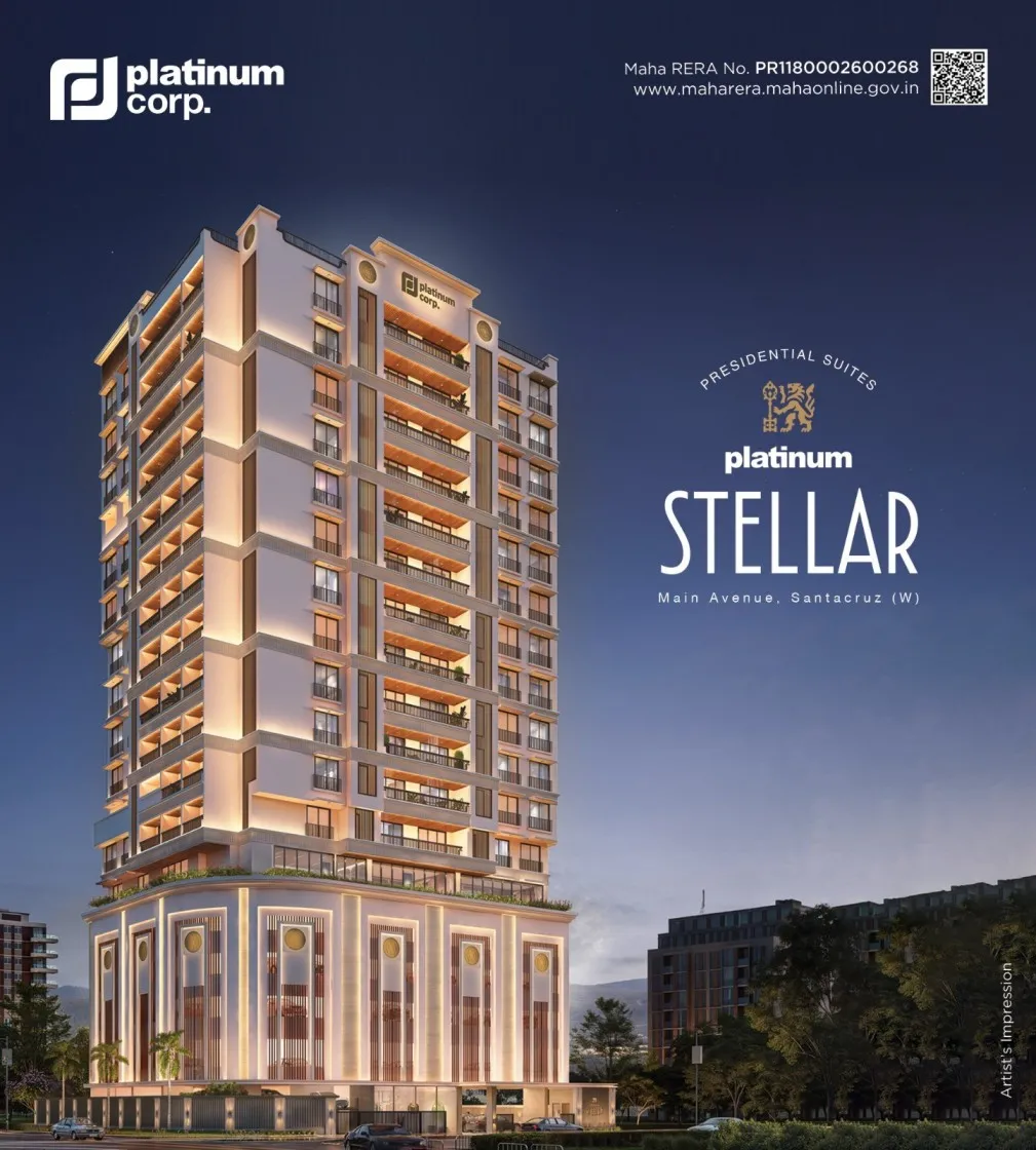
Platinum Corp has launched Platinum Stellar: Bespoke Presidential Suites, a luxury residential project on Main Avenue in Santacruz, Mumbai. The project has been positioned as a boutique, design-led development for high-net-worth individuals, business owners and legacy residents from the Bandra-Khar-Santacruz belt.The project has been developed in collaboration with celebrity interior designer Sussanne Khan and follows a design-first approach inspired by Art Deco architecture. It incorporates refined detailing, spacious layouts, premium material palettes and arrival experiences planned to creat..
Latest Updates